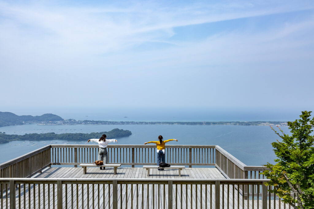
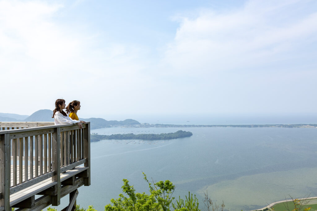
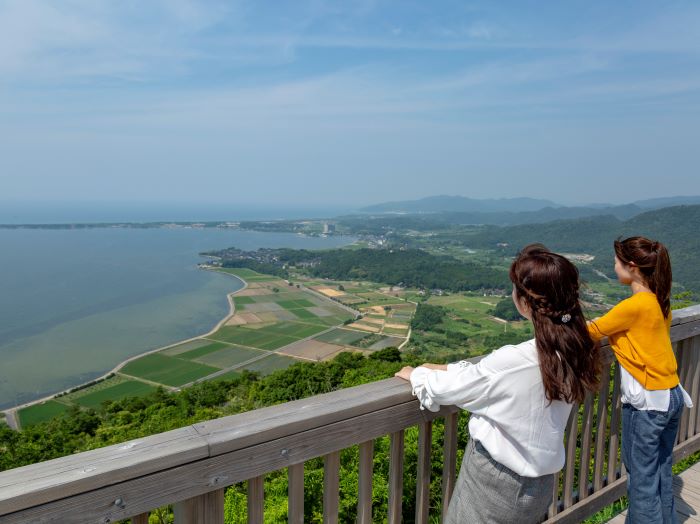
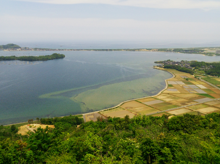
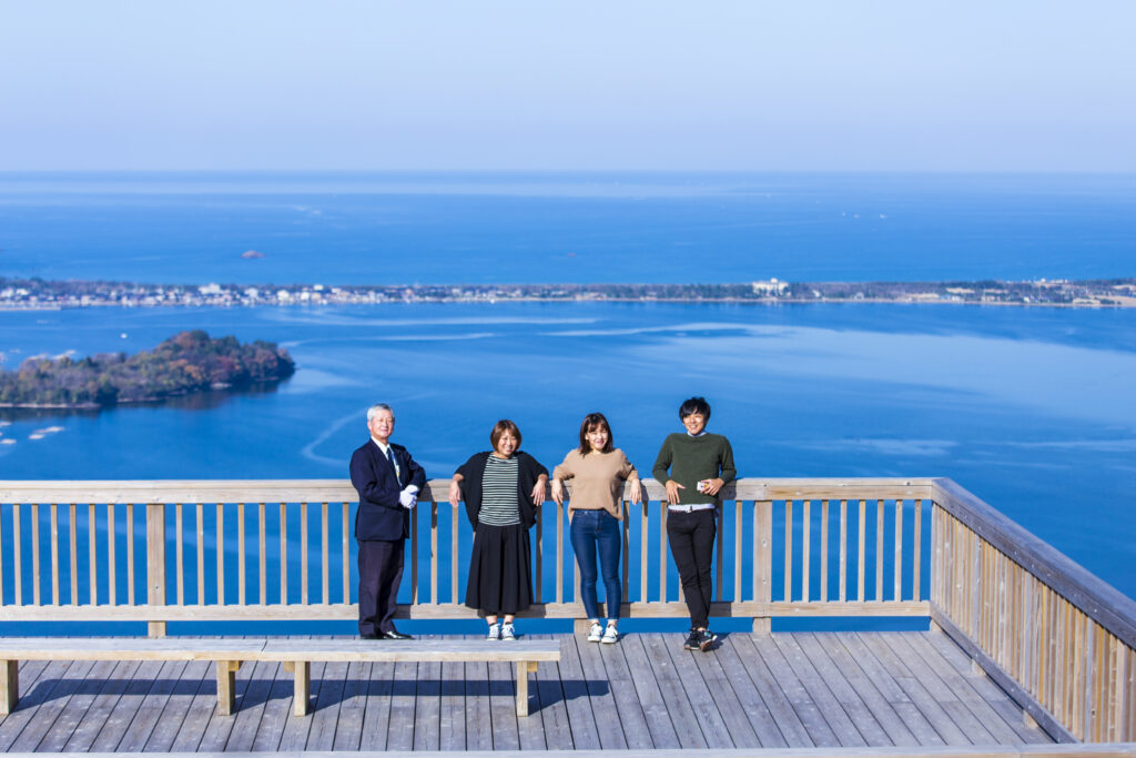
Mt. Kabutoyama s a 191.7 m tall mountain that overlooks Kumihama Bay. The rounded shape of the mountain resembles the shape of a samurai helmet (Kabuto), which is how Kabutoyama got its name (yama means mountain). Mt. Kabutoyama Observatory Deck at the top of the mountain takes approximately 20 minutes to reach on foot via a well-maintained trail starting at the foot of the mountain. The wooden observatory deck faces out towards Kumihama Bay where the unique mountainous topography has formed a thin sand bar called Shotenkyo, which encircles the bay and separates the calm waters of the bay from the Sea of Japan. The sweeping view of the contrasting green rice paddies against the blue sea is a spectaulor sight. "Shotenkyo" translates to "small heavenly bridge," and is said to be named after one of Japan's most famous scenic views, Amanohashidate, the large sandbar that represents a bridge to the heavens in Japanese mythology.
- Tel
- Tango City Tourism Association: 0772-62-6300
- Address
- Kabutoyama, Kumihama-cho, Kyotango City, Kyoto Prefecture
- Access
- Train: Walk 40 minutes from Kabutoyama Station on Kyoto Tango Railway's Miyatoyo Line
Car: On the Kyoto Jukan Expressway, take the Kutsukake IC exit, then take the Sanin Kinki road to the Kyotango Omiya IC, then route R312, and R178 to Kabutoyama observatory deck. - Business Hours
- Open year round, except after snow.
- Parking
- Number of regular vehicles: 30 car spaces(Charges: Free)
Number of large vehicles: 1-2 spaces, weekdays only
*Note: Use the car park at the foot of the mountain, the observatory is a 20 minute walk.
